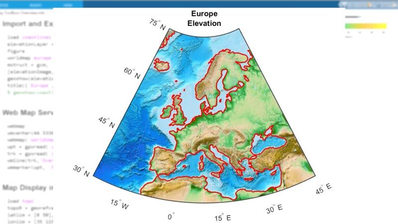
Mapping Toolbox는 지리 데이터를 변환하고 지도 보기를 만들 수 있는 알고리즘과 함수를 제공합니다. 지리적 맥락에서 데이터를 시각화하고 60개 이상의 지도 투영법으로 지도 보기를 구축하는 것은 물론, 다양한 출처의 데이터를 일관된 지리 좌표계로 변환할 수 있습니다.
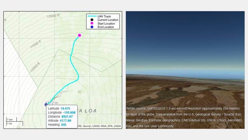
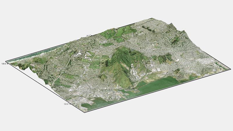
Mapping Toolbox는 지리 데이터 관리를 위한 완전한 워크플로를 지원합니다. 다양한 파일 형식 및 웹 지도 서버에서 벡터 및 래스터 데이터를 가져올 수 있습니다. 자르기, 보간, 재추출, 좌표 변환을 비롯한 다양한 기법을 사용하여 데이터를 처리하고 사용자 지정할 수 있습니다. 데이터는 단일 지도 보기에서 다양한 출처의 바탕 지도 계층과 결합할 수 있습니다. 데이터를 shapefile, GeoTIFF, KML 등의 파일 형식으로 내보낼 수 있습니다.

제품 관련 자료:
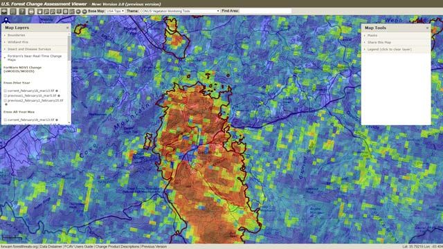
"ForWarn을 프로덕션에 투입하고 얼마 지나지 않아서 한 유역의 우박 피해를 감지했습니다. 예전에는 모르고 넘어갔던 위협이었죠. MATLAB이 없었다면 이 작업을 효율적으로 해내지 못했을 겁니다."
Duane Armstrong, NASA Stennis Space Center


또한 다음 목록에서 웹사이트를 선택하실 수도 있습니다.
미주
- América Latina (Español)
- Canada (English)
- United States (English)
유럽
- Belgium (English)
- Denmark (English)
- Deutschland (Deutsch)
- España (Español)
- Finland (English)
- France (Français)
- Ireland (English)
- Italia (Italiano)
- Luxembourg (English)
- Netherlands (English)
- Norway (English)
- Österreich (Deutsch)
- Portugal (English)
- Sweden (English)
- Switzerland
- United Kingdom (English)
아시아 태평양
- Australia (English)
- India (English)
- New Zealand (English)
- 中国
- 日本Japanese (日本語)
- 한국Korean (한국어)